


Indonesia's disaster agency is assessing the impact of a strong earthquake that hit off the southern coast of Sumatra island late on Tuesday.
It said that there had been no reports of damage or casualties by near midnight.
The 6.3 magnitude quake struck at 21:31 local time (1431 GMT), the country's meteorology and geophysics agency (BMKG) said, with its epicentre 80 km (50 miles) south of the town of Manna in Bengkulu province, at a depth of 52 km.
Manna is about 600 km (375 miles) northwest of the capital Jakarta.
The tremor was felt for 2 to 6 seconds by residents along the southern coastline of Sumatra, prompting some to run out of their homes, disaster agency BNPB said in a statement.
Indonesia straddles the so-called "Pacific Ring of Fire", a seismically active zone, where different plates on the earth's crust meet and create a large number of earthquakes and volcanoes.
In February, a magnitude 6.1 earthquake killed more than 10 people when it struck inland near the western coast of Sumatra.


 Trump says Iran war deal close as Strait of Hormuz tensions linger
 Ukraine and Russia trade overnight drone strikes, officials say
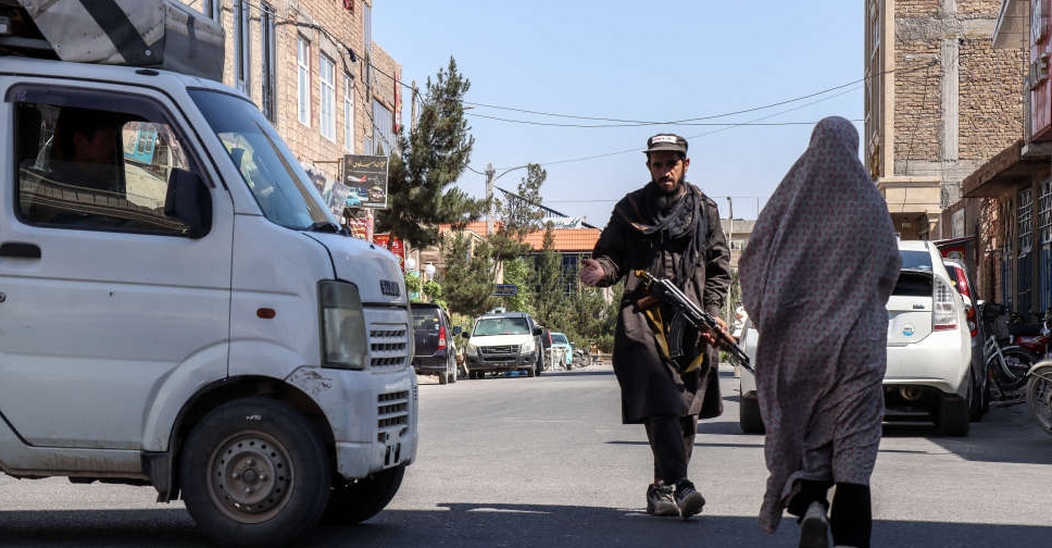 UN says Taliban arrest 30 women for violating hijab rules in Afghanistan
 Trump cancels US strikes on Iran, citing progress in talks
 South Korea court sentences ex-President Yoon to 30-year jail term in drone case
 Thai king's eldest daughter dies, aged 47, after long illness
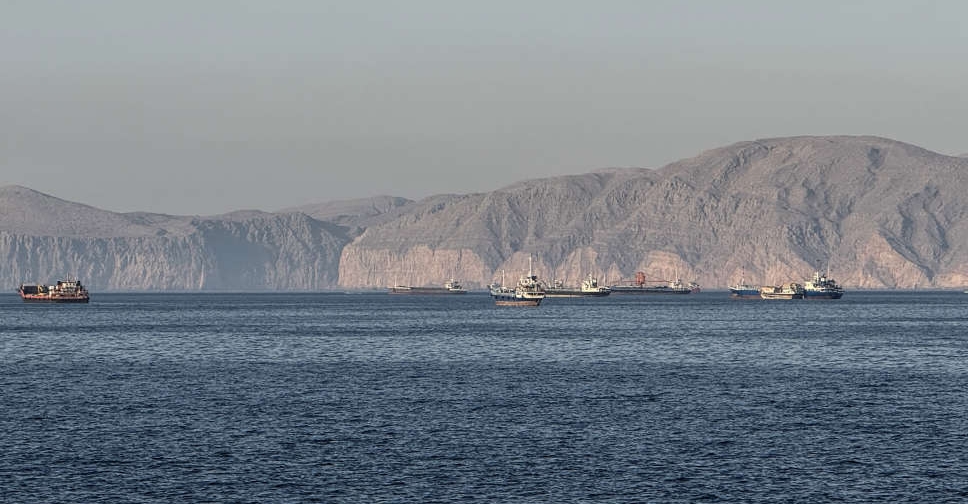 US confirms third strike on Indian-crewed tankers this week
 UK defence minister Healey quits, says PM Starmer's plans fail to keep country safe