


A project to map agricultural areas in the UAE using drones has completed its first two phases.
The initiative, covering various emirates, has surveyed around 1,100 square km of land so far.
Dr. Thani bin Ahmed Al Zeyoudi, Minister of Climate Change and Environment, provided a detailed overview of the project results to His Highness Sheikh Mohammed bin Rashid Al Maktoum, Vice President and Prime Minister and Ruler of Dubai.
The data is being used to monitor crops and help farmers boost productivity. It will also help authorities assess the impact of climate change on the agricultural sector.
''The initiative, once completed, will place the UAE among the top five countries in the world in terms of the area surveyed using unmanned aerial vehicles, and the first to employ this technology to map as many categories of statistical data," said Dr. Al Zeyoudi.
Aimed at facilitating the planning of future agricultural support services, the scheme will provide a wealth of raw data for analysis, such as the number and size of the crop, livestock, and mixed farms as well as cooled and regular greenhouses, soil type and condition, crop diseases, and irrigation methods.


 99.9% safety rating reinforces Dubai's standing among world's safest cities
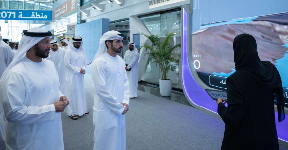 'Dubai Digital Twin Platform' to strengthen smart city planning, future readiness
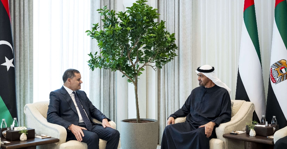 UAE and Libya explore closer cooperation
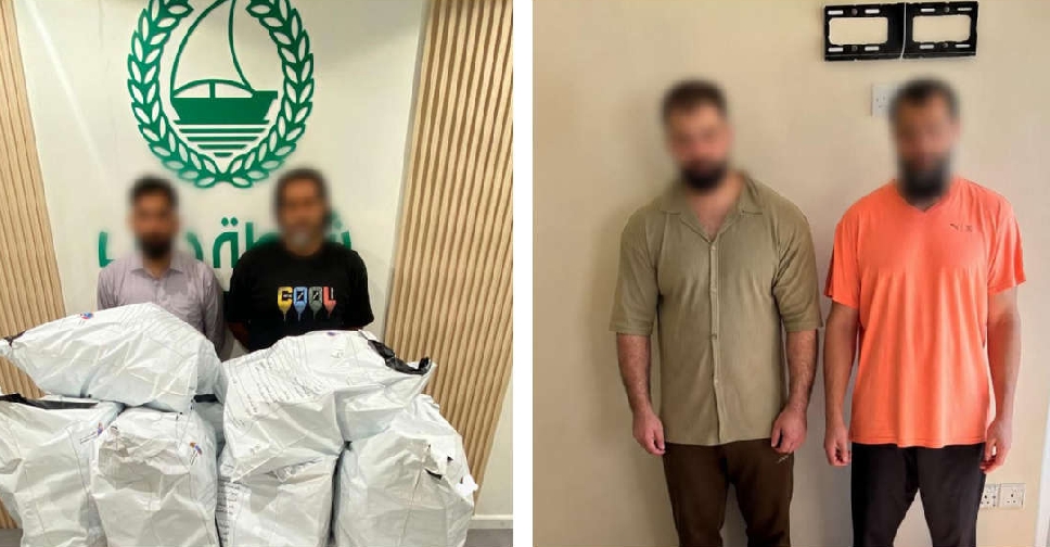 Dubai authorities bust drug smuggling network, seize 200kg of pills
 UAE's MBRGI backs digital education drive across six African nations
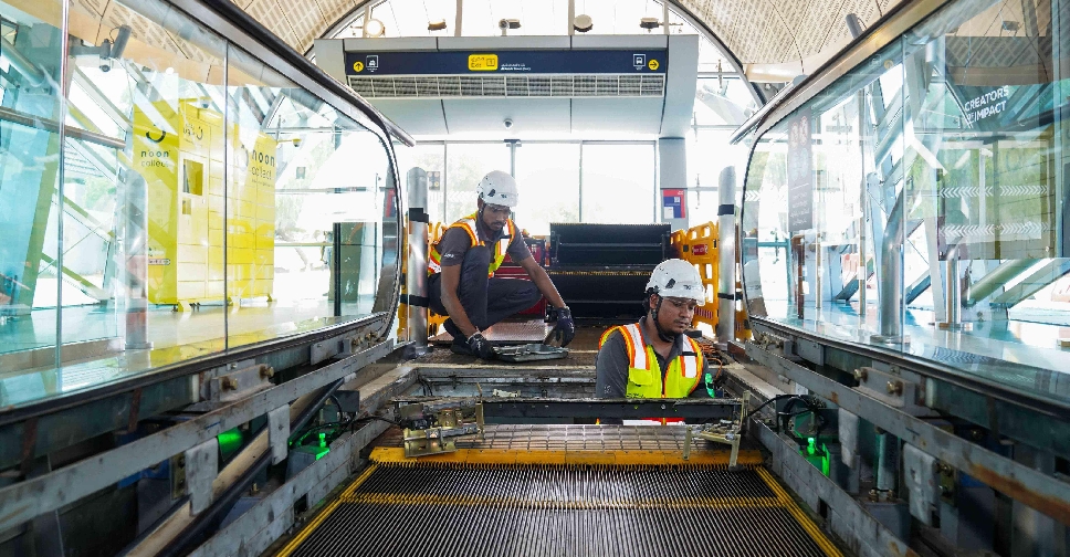 Dubai Metro escalator upgrade enhances safety, reliability
 UAE President restructures International Humanitarian and Philanthropic Council
 Dubai approves AED18 billion development package, including 15km elevated road


