

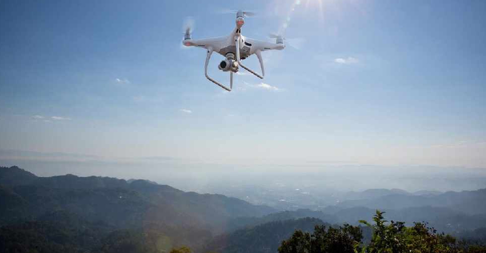
The UAE has completed the trial phase of a project to map agricultural areas using drones.
It's been helping the authorities collect data on farms and greenhouses in the country, as well as livestock population and soil type.
The Ministry of Climate Change and Environment (MOCCAE) is also using the technology to monitor crops and help farmers with forward planning.
The project's pilot phase between August and December in 2018, involved remote sensing and aerial imagery of Wadi Al-aim in Ras Al Khaimah.

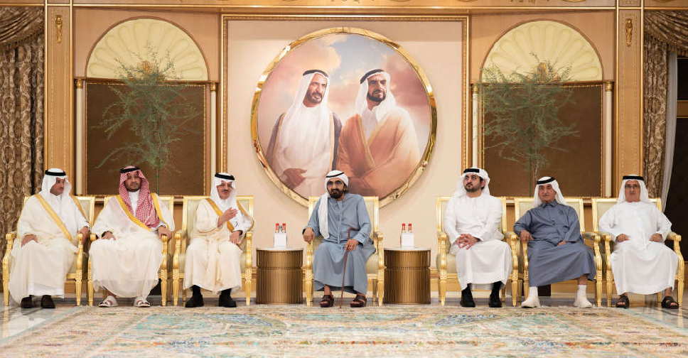 High-level Saudi delegation offers condolences to H.H. Sheikh Mohammed
 Sharjah Police refutes reports of murder victim's family going missing
 UAE condemns attacks in Ethiopia, urges de-escalation
 UAE strengthens focus on early childhood, family wellbeing
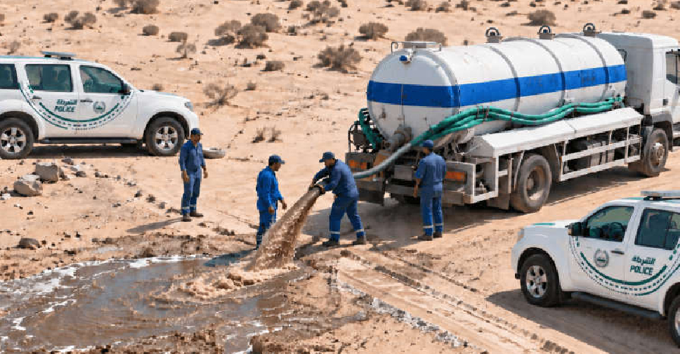 17 tanks seized in Dubai for illegal waste disposal in first half of 2026
 Dubai Municipality records over 2,000 violations in residential areas
 UAE announces suspension of Iranian airlines' flights
 Sheikh Abdullah discusses enhancing humanitarian response at UN