


Dubai Municipality has launched an electronic system that provides access to geospatial data and maps of the emirate.
It features digital 2D and 3D replicas of all the landmarks and infrastructure facilities with details ranging from building masterplans and interiors to external green areas, bridges, tunnels and service lines.
The system called ‘Dubai Here’ also provides access to details of housing units and information on economic activity, the environment, health and population.
It’s accessible on a web browser or smart device, and is designed to be easily updated.
The project will help officials with urban planning and managing services related to infrastructure, security and health.
.@DMunicipality launches ‘Dubai Here’, an e-system that provides comprehensive geospatial data and maps of #Dubai https://t.co/91qKK5FAqc pic.twitter.com/ce4aOJHoaB
— Dubai Media Office (@DXBMediaOffice) June 22, 2020
The municipality has also signed an agreement with the Roads and Transport Authority (RTA) for enhanced cooperation in the geospatial infrastructure of Dubai.
.@rta_dubai, @DMunicipality sign geospatial infrastructure service level agreementhttps://t.co/v5YDsQTl7Y pic.twitter.com/fTqOBl4MjY
— Dubai Media Office (@DXBMediaOffice) June 22, 2020


 Abu Dhabi outlines private accommodation plans for inmates
 Emirates to carry out A380 inspections after European emergency directive
 Etihad Rail announces launch date for passenger services
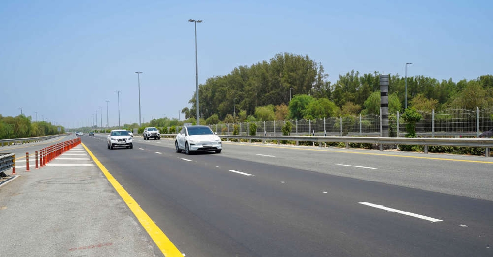 Major road maintenance works completed across Dubai
 UAE Gender Balance Council advances work on new national strategy
 UAE President expresses support for Qatar after industrial zone incident
 Dubai to provide affordable rent options in new initiative
 Abu Dhabi warns against online fake chalet promoters