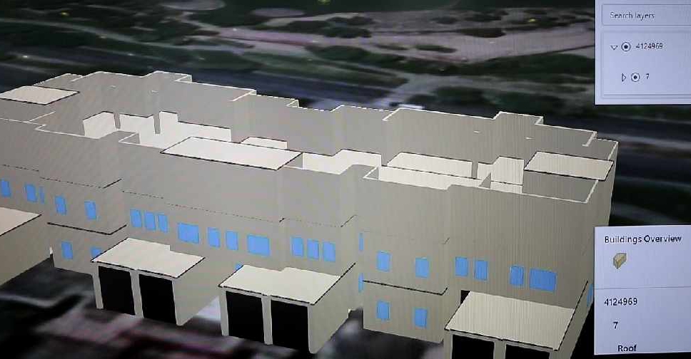
Dubai Municipality has launched an electronic system that provides access to geospatial data and maps of the emirate.
It features digital 2D and 3D replicas of all the landmarks and infrastructure facilities with details ranging from building masterplans and interiors to external green areas, bridges, tunnels and service lines.
The system called ‘Dubai Here’ also provides access to details of housing units and information on economic activity, the environment, health and population.
It’s accessible on a web browser or smart device, and is designed to be easily updated.
The project will help officials with urban planning and managing services related to infrastructure, security and health.
.@DMunicipality launches ‘Dubai Here’, an e-system that provides comprehensive geospatial data and maps of #Dubai https://t.co/91qKK5FAqc pic.twitter.com/ce4aOJHoaB
— Dubai Media Office (@DXBMediaOffice) June 22, 2020
The municipality has also signed an agreement with the Roads and Transport Authority (RTA) for enhanced cooperation in the geospatial infrastructure of Dubai.
.@rta_dubai, @DMunicipality sign geospatial infrastructure service level agreementhttps://t.co/v5YDsQTl7Y pic.twitter.com/fTqOBl4MjY
— Dubai Media Office (@DXBMediaOffice) June 22, 2020


 Dubai private schools to offer life skills to shape future-ready students
 Warning issued after 25 injured in 4 vehicle collision on Jebel Ali Road
 H.H. Sheikh Mohammed applauds Egypt's 'heroic' World Cup run
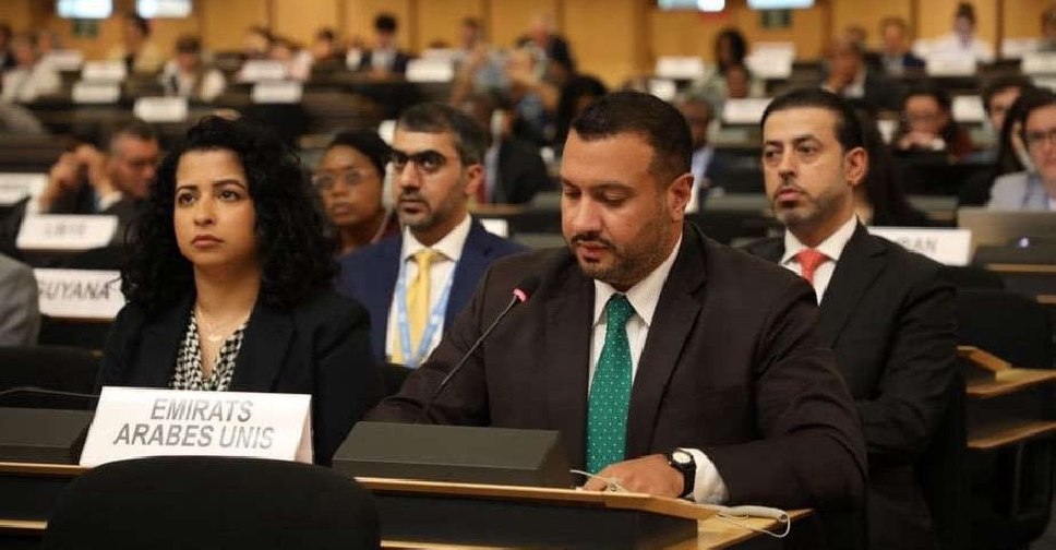 UAE calls for immediate Sudan ceasefire, expansion of arms embargo
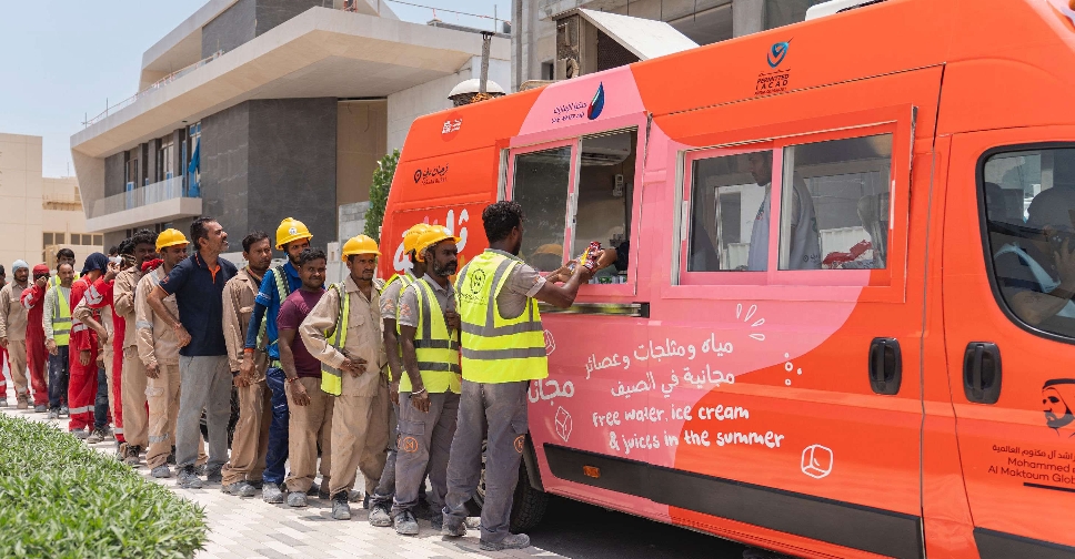 Dubai community campaign supports workers with 2 million refreshments
 Dubai Police warns of burn risks from viral trend of microwaving slime
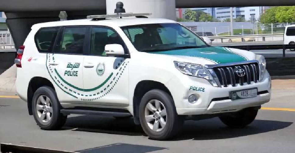 99.9% safety rating reinforces Dubai's standing among world's safest cities
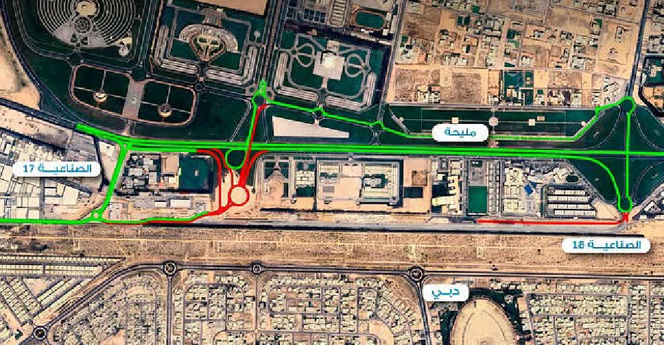 Traffic diversion announced for Sharjah Etihad Rail Station access works