
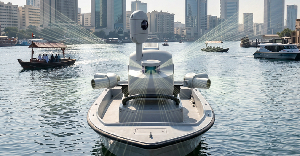
Dubai Municipality has completed the Middle East’s first pilot project using advanced mobile mapping technology to survey waterways and canals.
The initiative used a specially equipped vessel fitted with the Leica TRK system to capture highly accurate spatial data along the Al Jaddaf water canal.
The project produced detailed datasets and precision 3D models, in collaboration with specialised partners, creating new opportunities for more efficient urban planning and infrastructure management.
Engineer Maitha Alnuaimi, Director of the GIS Centre Department at Dubai Municipality, said the project supports Dubai’s Digital Twin initiative by helping government entities make faster and more accurate decisions using reliable geospatial data.
She added that the initiative reinforces Dubai’s leadership as a smart and future-ready city.
Survey work will now expand across waterways throughout the emirate as preparations continue for the project’s next operational phase.
Dubai Municipality completes the Middle East’s first pilot project for surveying waterways and canals using Mobile Mapping technology through the Leica TRK system mounted on a specially equipped vessel. The initiative provides highly accurate and continuously updated spatial data… pic.twitter.com/pm67LVPbxx
— Dubai Media Office (@DXBMediaOffice) May 11, 2026

 H.H. Sheikh Mohammed pays tribute to UAE President in personal message
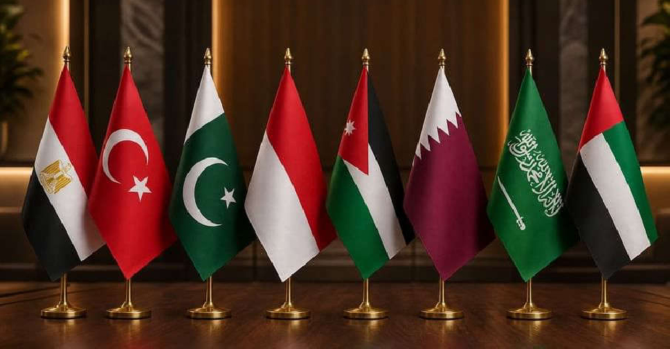 UAE joins 7 other countries in rejecting displacement of Palestinians from Gaza
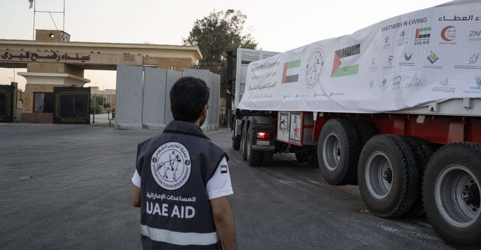 Five UAE aid convoys enter Gaza carrying 533 tonnes of supplies
 UAE search and rescue team begins field operations in flood-hit Nepal
 Dubai Police completes 104 technology projects in a year
 UAE leaders meet with King of Bahrain to discuss regional issues
 New RTA development at Al Qiyadah Intersection cuts traffic by 15 per cent
 UAE President sends Emir of Kuwait invitation to 2026 UN Water Conference