

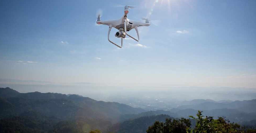
The UAE has completed the trial phase of a project to map agricultural areas using drones.
It's been helping the authorities collect data on farms and greenhouses in the country, as well as livestock population and soil type.
The Ministry of Climate Change and Environment (MOCCAE) is also using the technology to monitor crops and help farmers with forward planning.
The project's pilot phase between August and December in 2018, involved remote sensing and aerial imagery of Wadi Al-aim in Ras Al Khaimah.

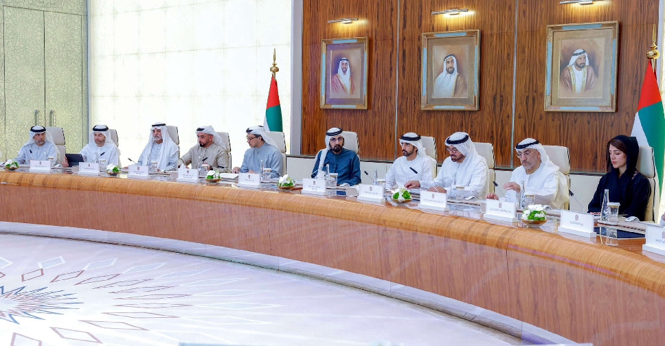 UAE Cabinet adopts AI Advisor System to support decision-making
 UAE condemns hostile Iranian attack on Saudi tanker 'Sidr'
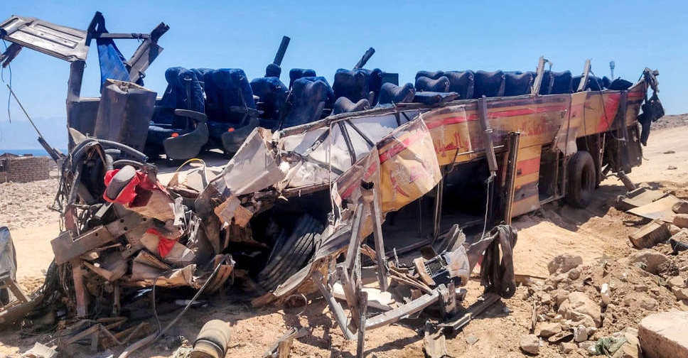 UAE expresses solidarity with Egypt, Jordan over victims of bus accident
 Dubai steps up school safety with over 500 inspections
 UAE scholarship programme helps 668 students pursue higher education
 UAE President invites Qatari Emir to attend UN Water Conference
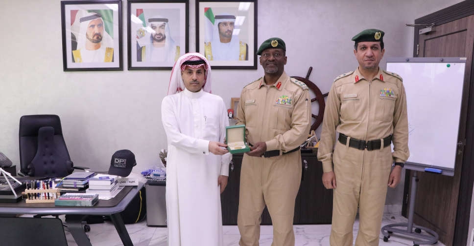 Dubai Police honours Saudi national for saving man from drowning
 H.H. Sheikh Hamdan: Dubai brings global minds together to design the future