

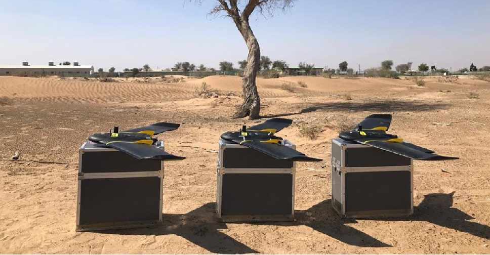
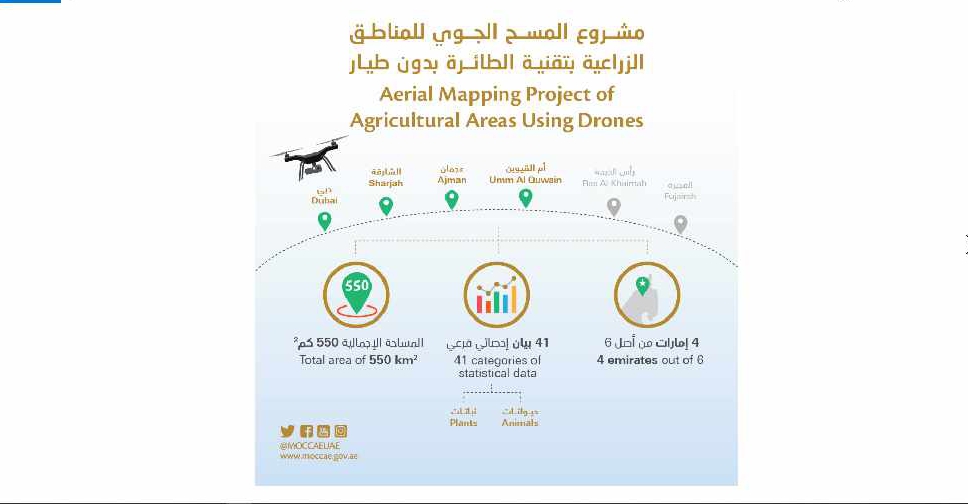
A project to map agricultural areas in the UAE using drones has completed its first phase.
It’s captured around 550 square kilometres of land across Dubai, Sharjah, Ajman, and Umm Al Quwain so far.
The Ministry of Climate Change and Environment will use the data to monitor crops and help farmers with forward planning.
Agricultural areas in Fujairah and Ras Al Khaimah will be mapped in the project's second phase later this year.

 Sharjah Ruler unveils part-time work plan for 1,000 senior citizens
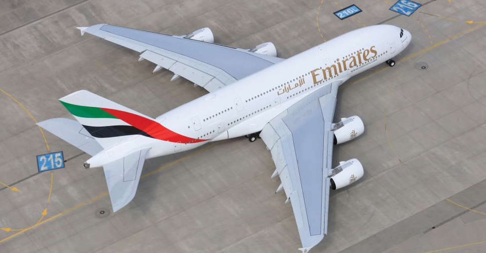 Dubai-Jakarta flights resume after Indonesia airport reopens
 Six ambassadors take oath before UAE President
 UAE President to begin state visit to Germany on Wednesday
 H.H. Sheikh Hamdan marks 20 years leading Executive Council of Dubai
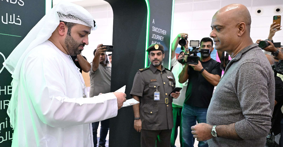 Dubai speeds up airport procedures with 'Click & Travel'
 Dubai Metro’s ONPASSIVE station gets new name
 UAE, Lebanon reaffirm commitment to stronger ties