

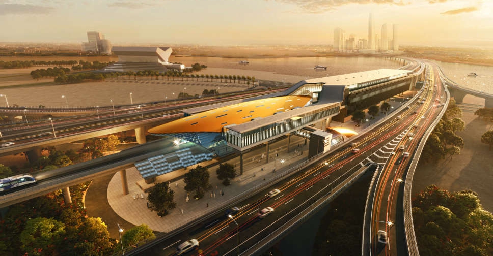
Road and Transport Authority (RTA) has outlined the route map for Dubai Metro's Blue Line that will connect 14 stations, of which five will be elevated, four underground, two "future elevated" and one underground interchange.
In a video post on X platform, RTA also revealed that the line will cover 14.5 km over ground and 15.5 km under ground.
Set to open in 2029, the Blue Line aims to hold a capacity exceeding 320,000 passengers per day.
إليك خريطة مسار الخط الأزرق لـ #مترو_دبي، من #هيئة_الطرق_و_المواصلات، المشروع الذي سيربط عند افتتاحه عام 2029، بين 14 محطة هامة حول دبي، بينها محطات علوية ومحطات تحت مستوى الأرض، بقدرة استيعابية تتجاوز 350 ألف راكب يومياً. يساهم المشروع في تحقيق أعلى تكامل لشبكة المترو، إلى جانب… pic.twitter.com/16ZBxU83Md
— RTA (@rta_dubai) December 14, 2025
Covering 11,000 square metres alone, the completion of the Blue Line will expand Dubai’s rail network to a total of 131 km, with a combined 78 stations and 168 trains available in Dubai.
The project is part of Dubai's 2040 Urban Master Plan, which aims to connect areas expected to be home to more than one million residents.

 UAE President congratulates Italian PM on longest-serving government
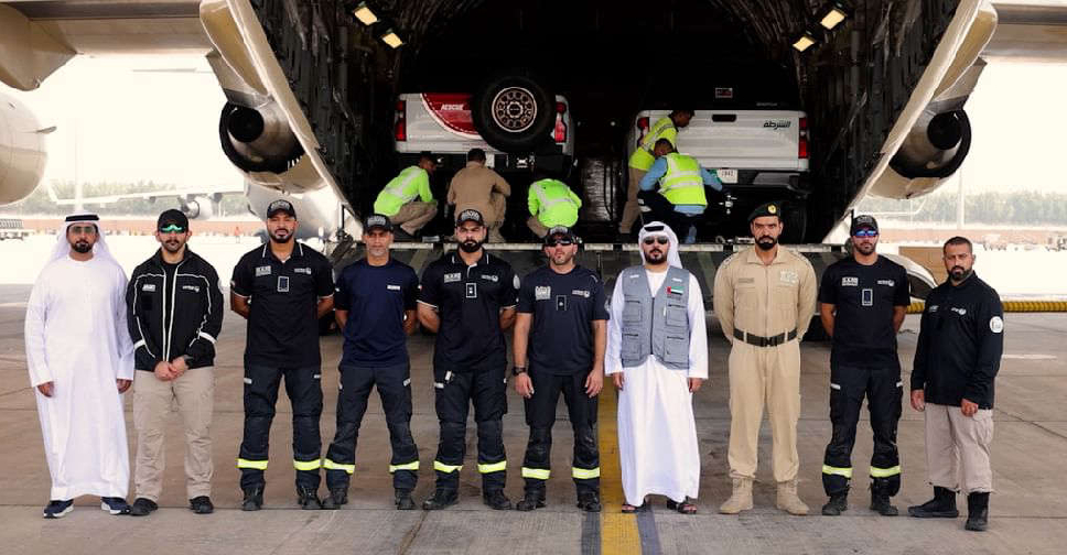 UAE relief mission departs for flood-hit Nepal
 Sharjah Police arrests man accused of murdering sisters
 KHDA reminds Dubai private schools to follow unified academic calendar
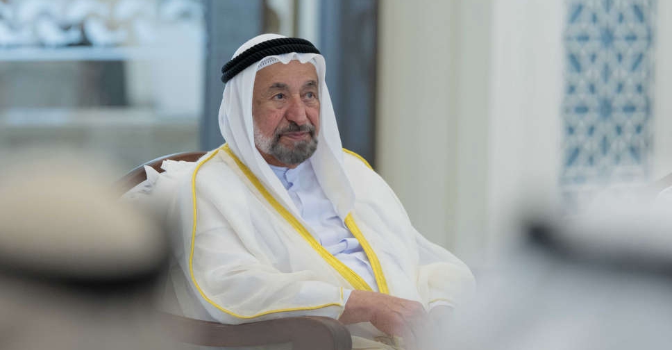 Sharjah ruler approves AED 20,000 living allowance for government staff
 More than 13,000 e-scooters seized in Dubai traffic crackdown
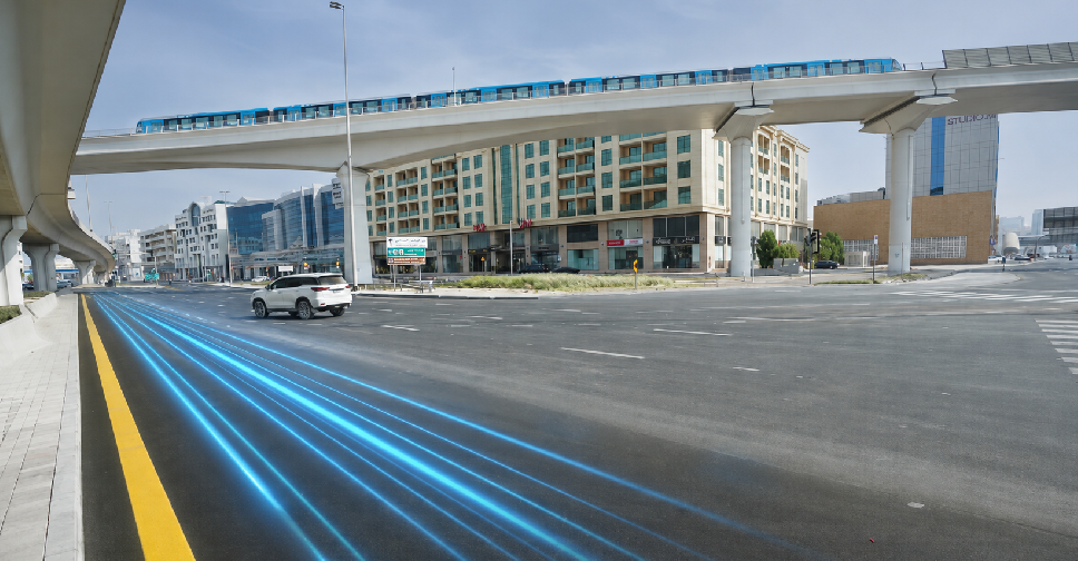 Traffic upgrades at Dubai’s Al Qiyadah Intersection to cut peak-hour delays
 UAE, US Presidents review regional developments